


 347 / 476

337
3 – n i ght v fr
lowest safe altitude
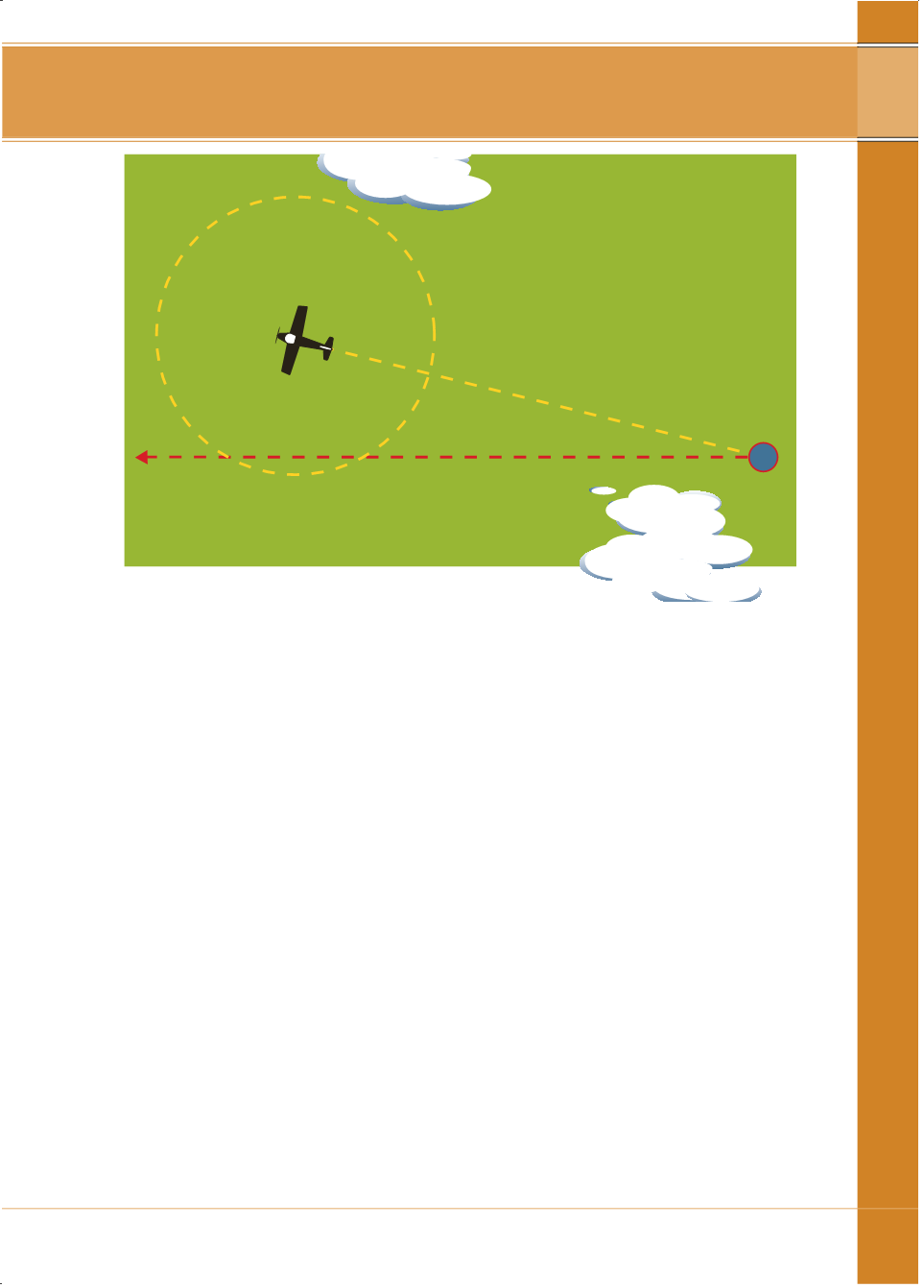
PLANNEDTRACK
AIRDISTANCE+ 20%+5nm
TRACKMADEGOOD
DRPOSITION
For routes and route segments not shownonAIP aeronautical charts, the
lowest safe altitudemust not be less than that calculated in accordancewith
the paragraph belowwithin an area defined bywhether the aircraft is being
navigatedwith reference to navigation aids, GPS, or flown at night under the
VFR. These areas are illustrated in thenext fivepages.
TheLSALTmust be calculated using the followingmethod:
• where the highest obstacle ismore than 360 ft above the height
determined for terrain, the LSALTmust be 1000 ft above the highest
obstacle; or
• where the highest obstacle is less than360 ft above the terrain, or there
is no charted obstacle, the LSALTmust be 1360 ft above theelevation
determined for terrain; except
• where theelevationof thehighest terrainor obstacle in the tolerance area
is not above 500 ft, the LSALTmust not be less than1500 ft.